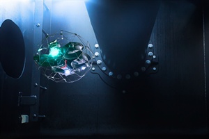
 Bureau Veritas Marine & Offshore has launched the Augmented Surveyor 3D (AGS 3D), a remote inspection tool that uses artificial intelligence and machine learning to identify and locate structural anomalies in offshore assets.
AGS 3D processes images and video captured by drones and maps identified defects onto a 3D digital model, generated from LiDAR-based point cloud data. The tool is designed for use across a range of offshore applications, including floating offshore wind structures, floating production storage and offloading units (FPSOs), floating storage units (FSOs) and in-service vessels. The system enables 360-degree visualisation, supports collaborative inspections, and facilitates maintenance planning through data-driven analysis.


